Cirrus Clouds
Feathery Ice Crystal Clouds ❄️
Altitude
20,000+ feet (6+ km)
Highest common cloud type
Composition
Ice crystals only
Never water droplets
Weather Signs
Change coming within 24 hours
Old weather adage rule
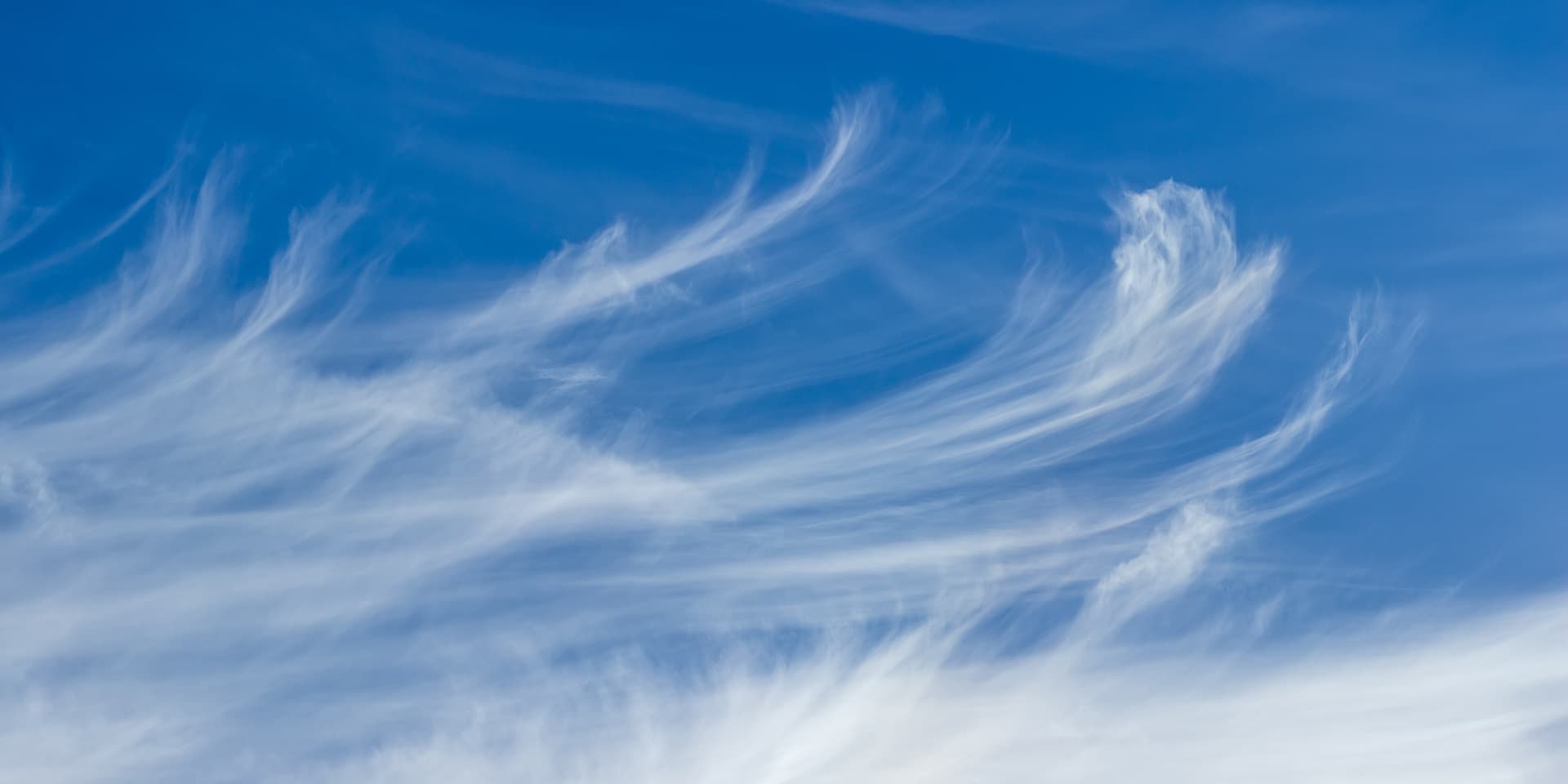
What Are Cirrus Clouds?
Cirrus clouds are delicate, feathery clouds composed entirely of ice crystals that form at very high altitudes (above 20,000 feet). They appear wispy and transparent, often called "mare's tails" due to their flowing appearance. Cirrus clouds are often the first sign that a weather change is approaching, as they typically precede warm fronts and weather systems by 24-48 hours.
Formation & Characteristics
Formation Process
- 1. High Altitude: Forms only above 20,000 feet where temperatures are below -40°F (-40°C).
- 2. Jet Streams: Often associated with jet stream outflow from upper-level weather systems.
- 3. Ice Crystal Formation: Water vapor freezes directly into ice crystals (deposition).
- 4. Wind Transport: Upper-level winds blow clouds into distinctive wispy patterns.
Key Characteristics
- ✓ Appearance: Wispy, delicate, feathery strands
- ✓ Color: White or slightly transparent
- ✓ Texture: Fibrous, streaky patterns
- ✓ Density: Very thin, sun clearly visible through
- ✓ Movement: Drifts with upper-level winds
- ✓ Composition: Pure ice crystals, no water droplets
Types of Cirrus Clouds
Cirrus Fibratus
Fibrous cirrus with a continuous, veil-like appearance covering areas of the sky.
- • Covers large sky area
- • Continuous appearance
- • Often precedes storms
- • Can completely cover sky
Cirrus Uncinus
The classic "mare's tail" cirrus with curved, hook-like appearance from wind shear.
- • Hook or comma shape
- • Indicates wind shear
- • Beautiful formations
- • Often points to weather changes
Cirrus Filamentosus
Thin, thread-like strands of cirrus clouds with very little structure.
- • Thread-like appearance
- • Very thin and delicate
- • Sparse coverage
- • Often isolated strands
Cirrus Castellanus
Cirrus with small turrets or towers indicating instability at high altitudes.
- • Tower-like projections
- • Indicates upper-level instability
- • Severe weather possible
- • Often in summer afternoons
"Mackerel Sky" & Weather Prediction
The old sailor's saying "Mackerel sky, mackerel sky - not long wet and not long dry" refers to patterns of cirrus clouds that indicate changing weather. When cirrus clouds appear in fish-scale patterns, significant weather changes typically occur within 24 hours.
Within 12 Hours
- • Increasing cloud coverage
- • Clouds lower and thicker
- • Temperature may drop
12-24 Hours
- • Precipitation likely
- • Winds may increase
- • Visibility decreases
24+ Hours
- • Significant weather arrives
- • May continue 12-24 hours
- • Clearing follows passage
Key Facts About Cirrus Clouds
Physical Properties
- • Ice crystals: 10-100 micrometers
- • Liquid water content: 0.01-0.1 g/m³
- • Cloud top temp: -40°F to -76°F
- • Very thin, often translucent
Weather Impact
- • No precipitation from cirrus alone
- • First sign of approaching system
- • Can be 24-48 hours ahead
- • Marks jet stream location